[[13-01-01-SOP]] [[12-01-01-Gaea]] [[17-01-01-Modeling]]
#Export to Unreal:
middle point: 149, 149, 149 #959595
- 16-bits
- grayscale
- png or raw
landscape ize; unreal docs
Principles
Make in passes from:
- Low Massing: make a volume (bigger than end result)
- Low Add obstacles and disturbance for better erosion
- Low Layers to Erosion
- Low erosion for massive (mid range) sculpts
- Med geological formations like terracing
- High Erosion
Mix layers
- Add Subtract - masks, good transitions TOP: gradient , bottom pattern
- Overlay - Smoother than addsub. less useful for mask, for blend height car about 50%, bottom gradient
- Min, Max - boolean in heights cz wspola/ Blend!!!
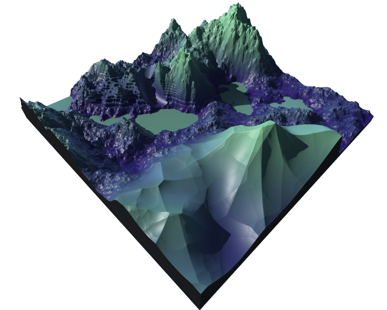
Heightfields
Building
NoiseProjectDistort: by noise or layerTerraceFlow Lines: - Simple version that create Water flow - Wain Amount / density Spread Smooth (Adjust Height - Add to H.)
Layers
Change size
Remap- change H (Y)Crop- change X,ZTransform- move / scaleResample- dense
Export
Heightfield Output> convert to imageConvert
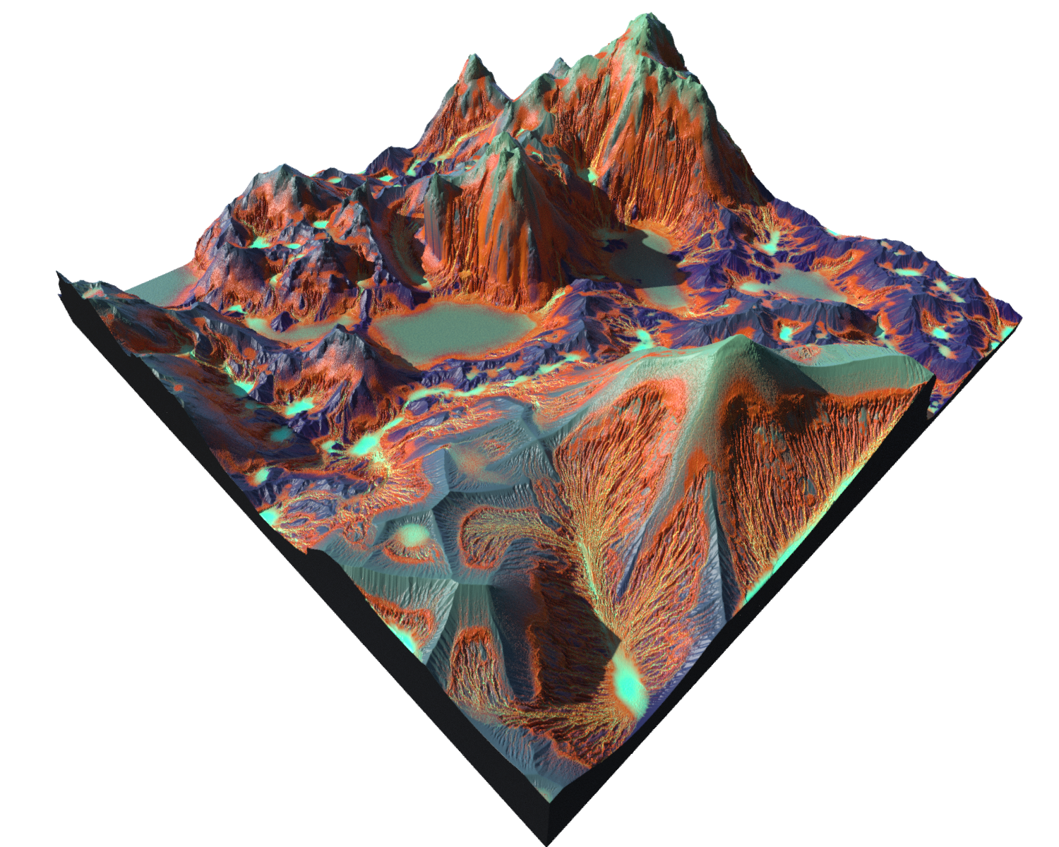
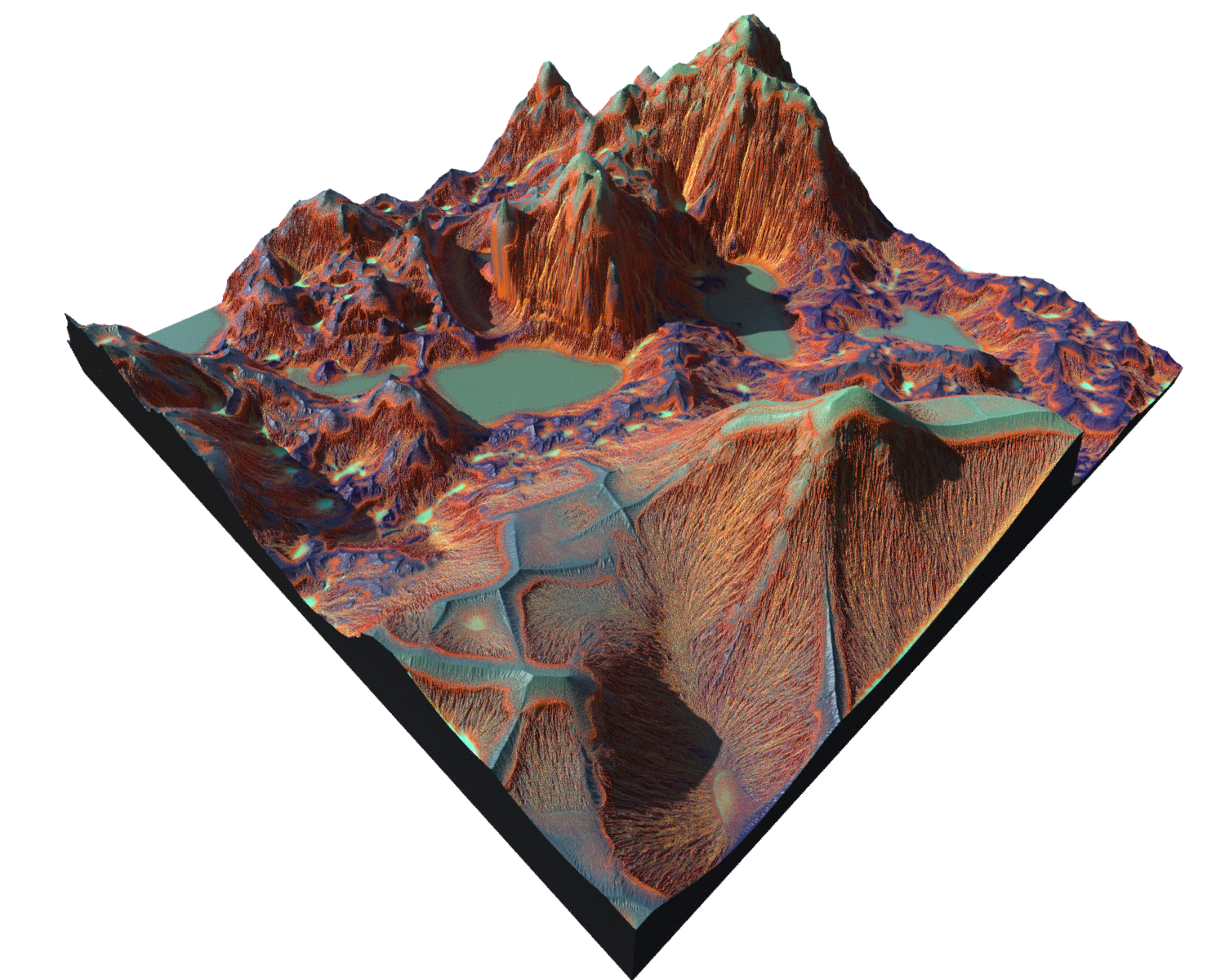
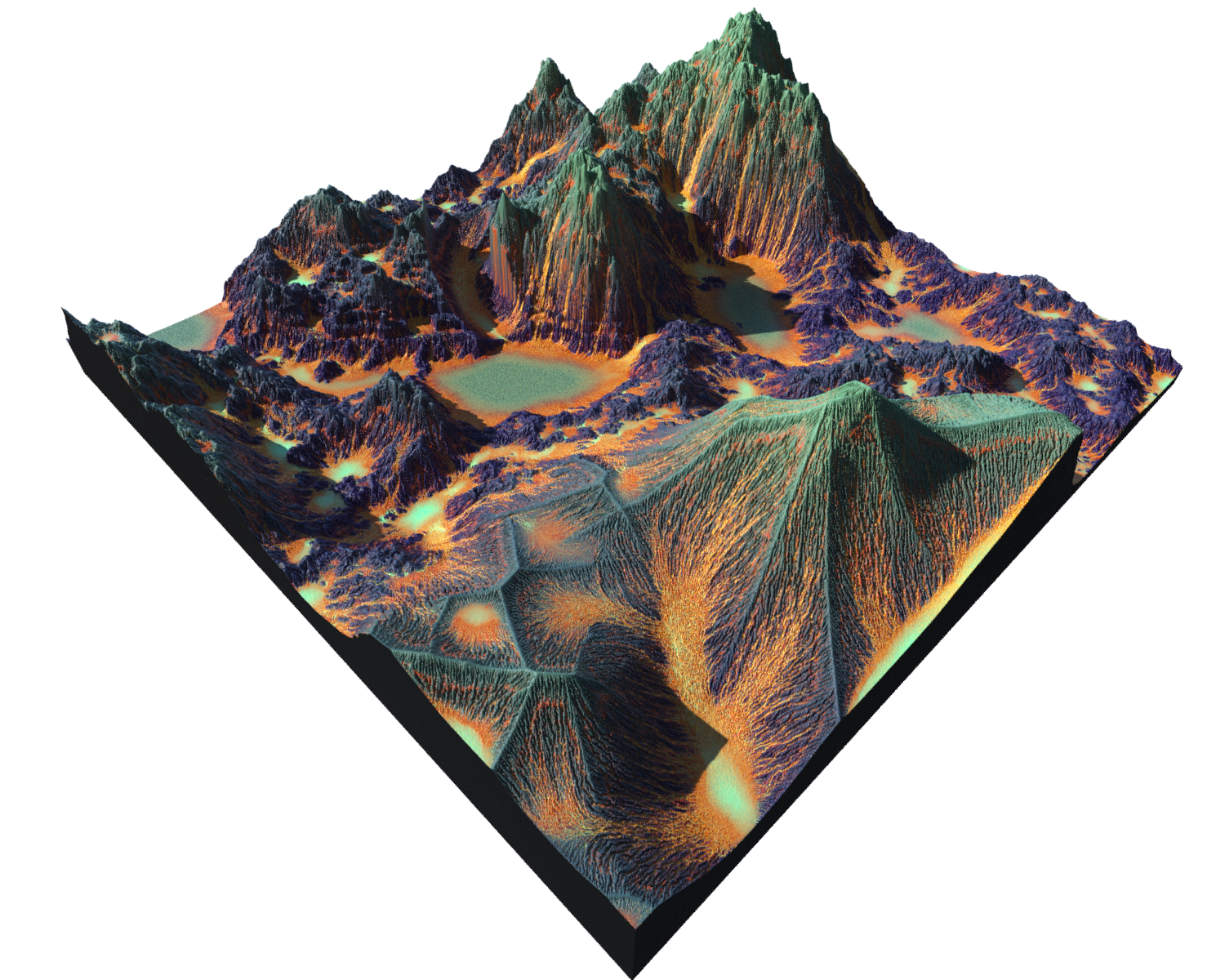
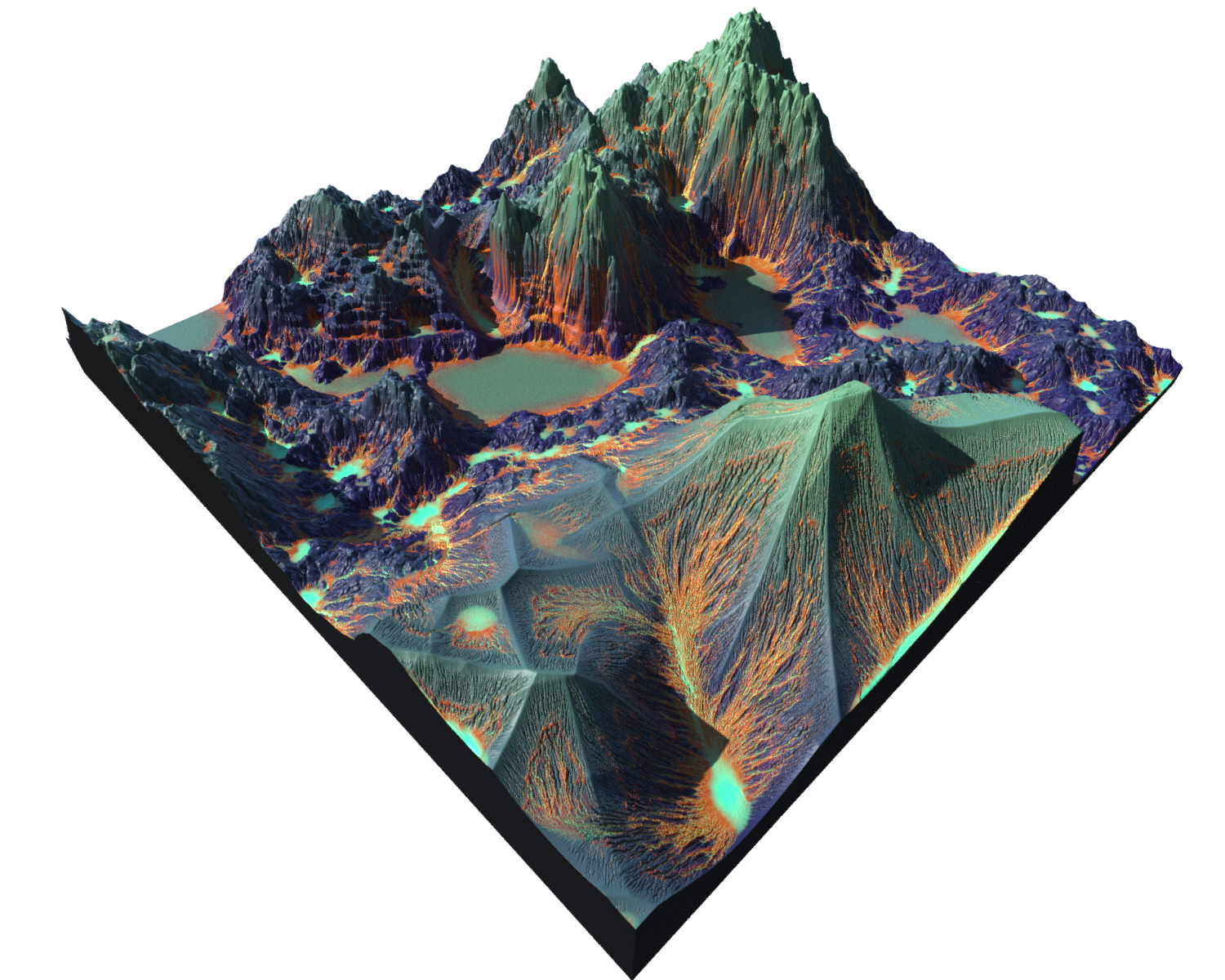
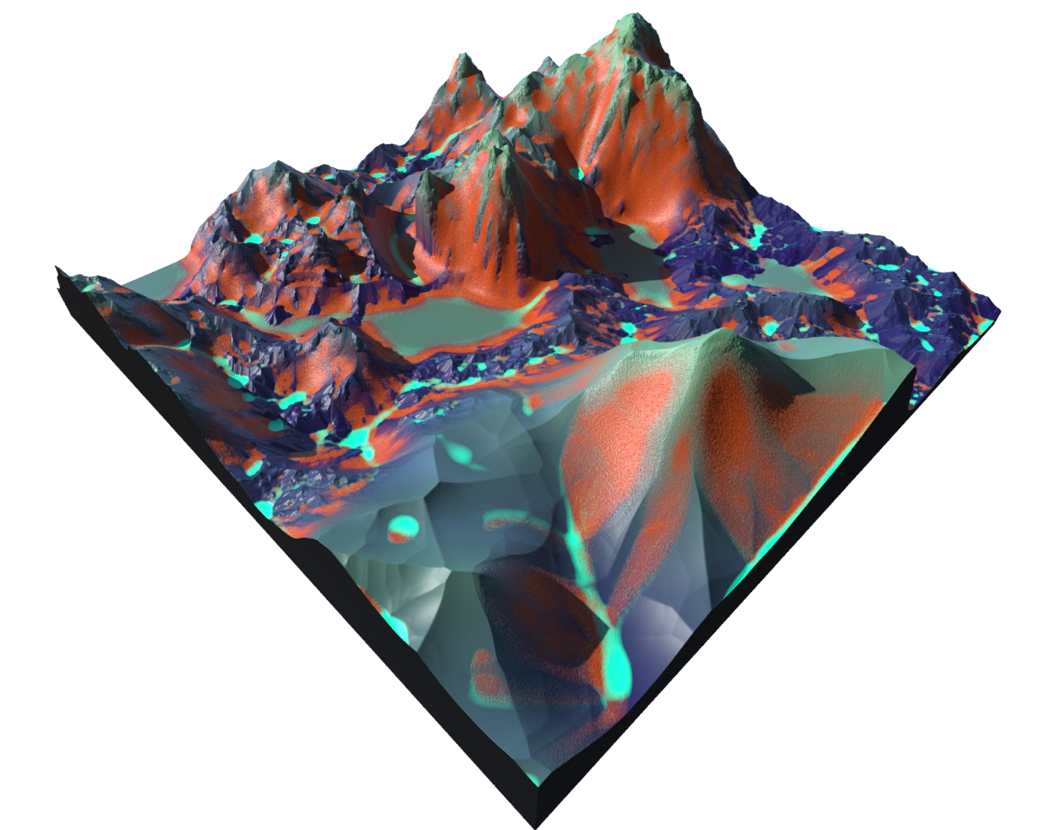
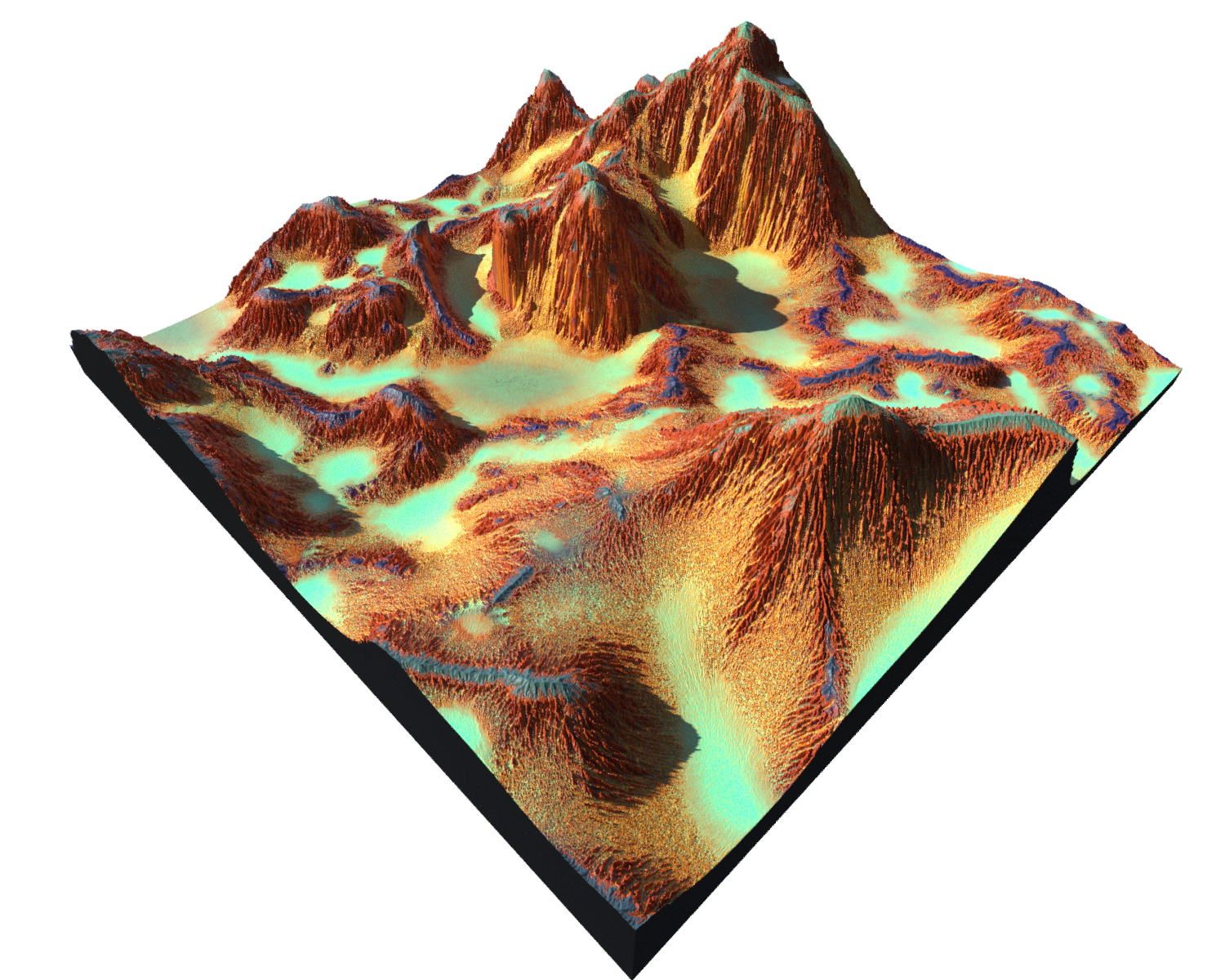
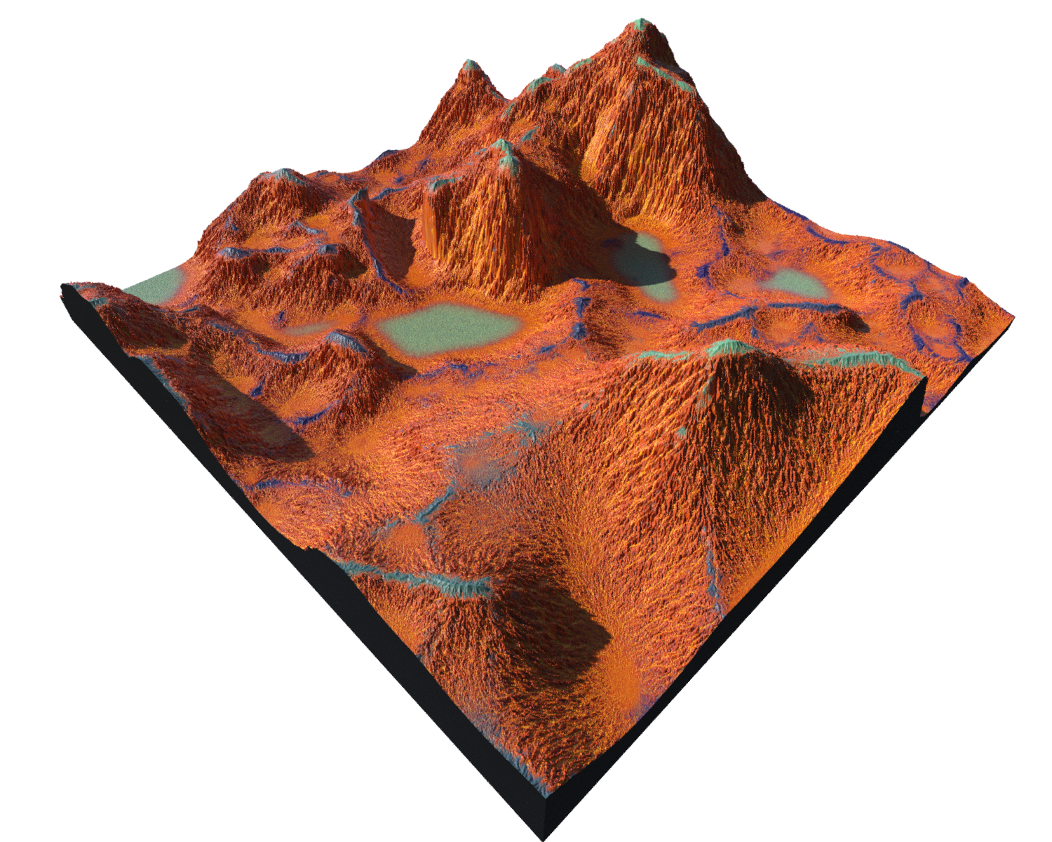
Erosion
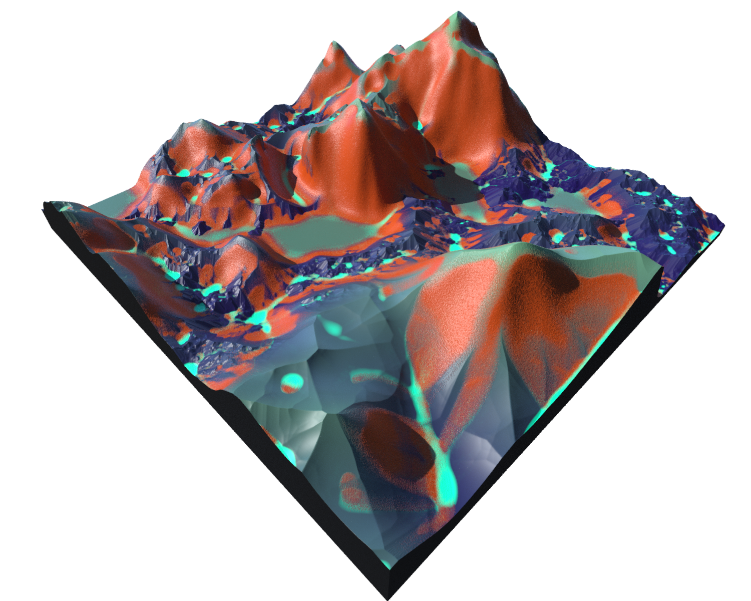
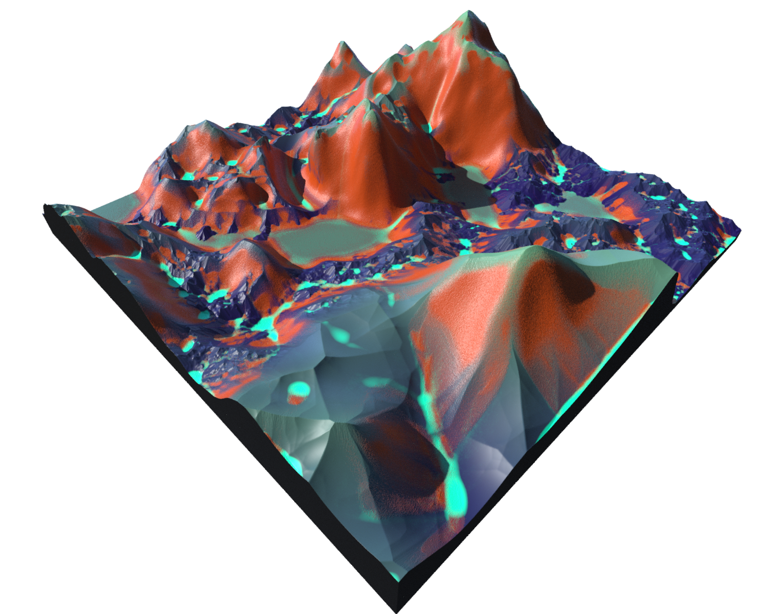
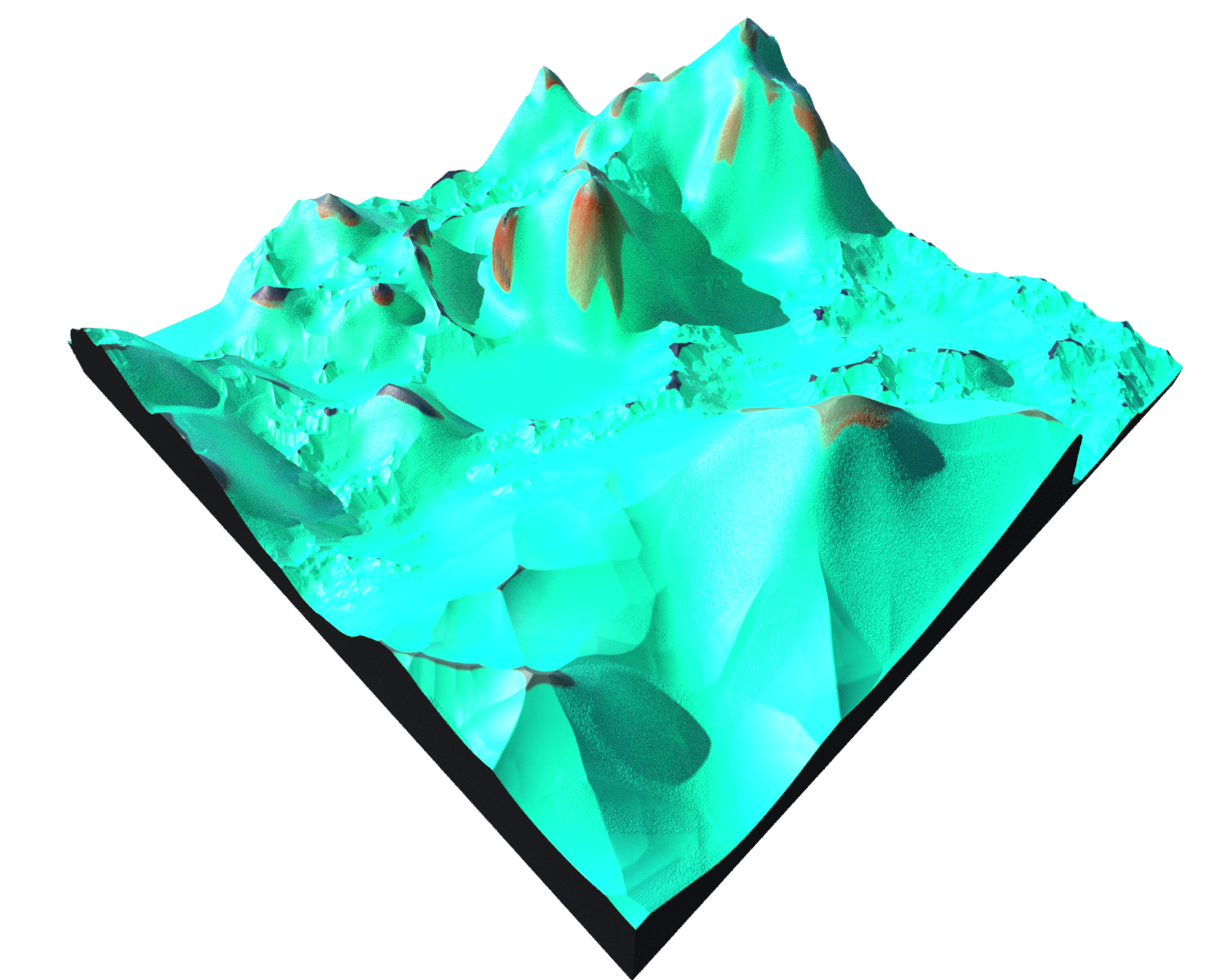
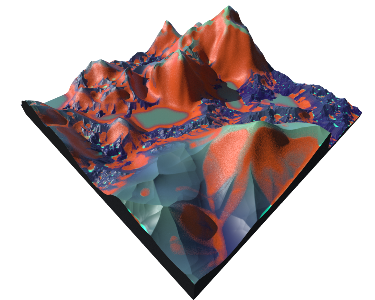
Erosion create Voxel grids:
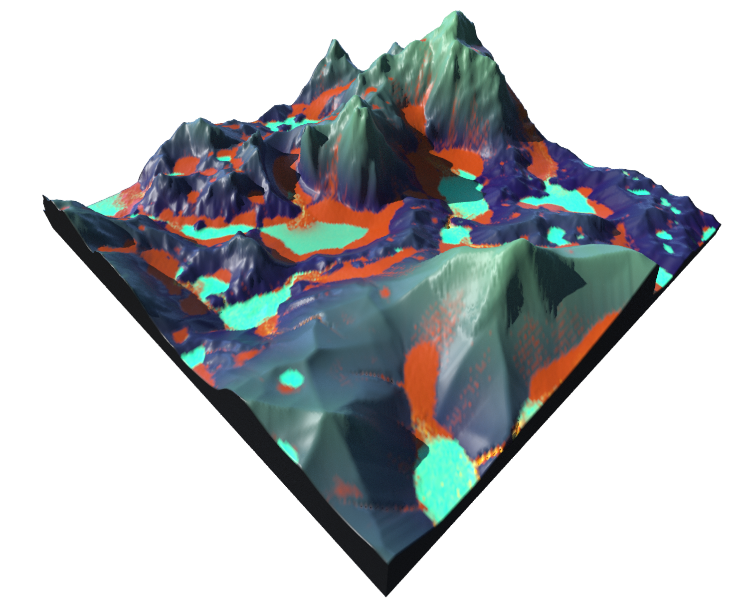
masksediment(osady) - yellowbedrock(podłoże) - violetdebris- orangewater- green
Global Erosion, Erodability & Erosion rate - are multiplayers
 |
 |
 |
 |
| Resample 256 | 1024 | 2048 | 4096 |
 |
 |
 |
 |
| Rescale 100 (.1 of orginal) | 200 (.2) | 1000 (1) | 5000 (5) |
Hydro
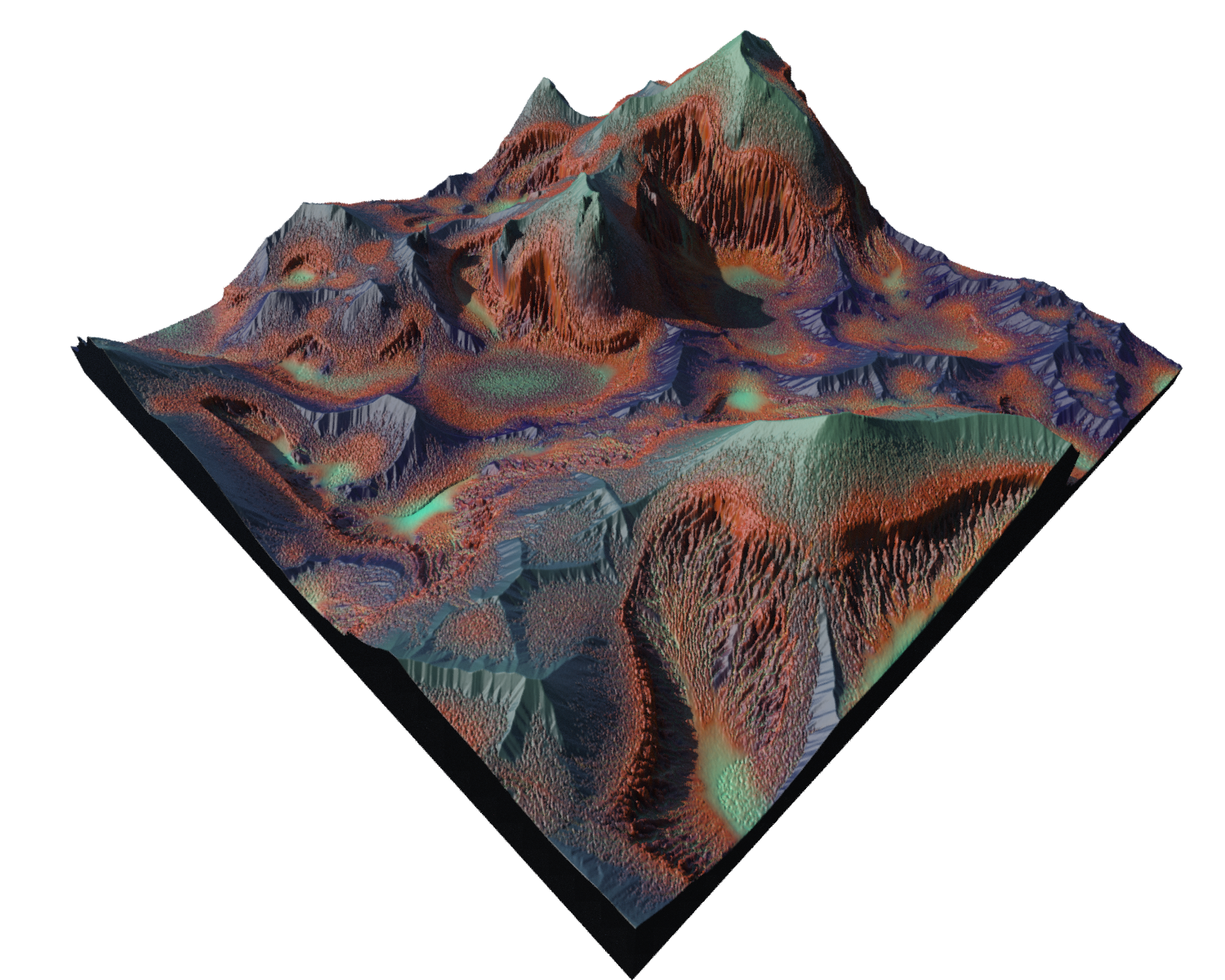
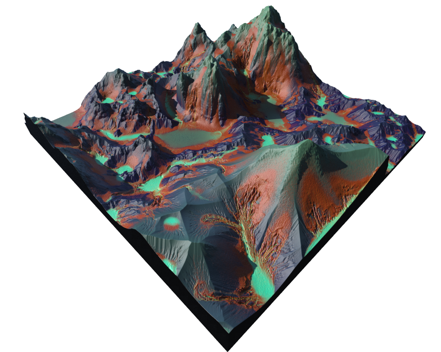
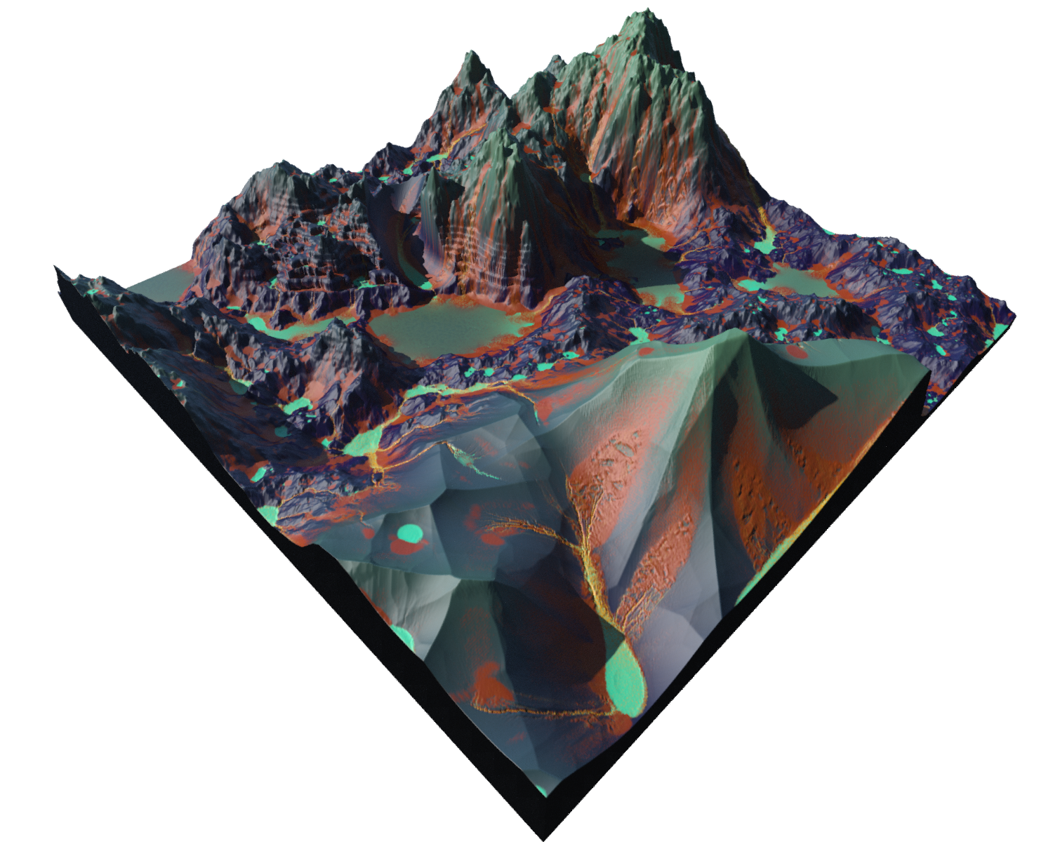
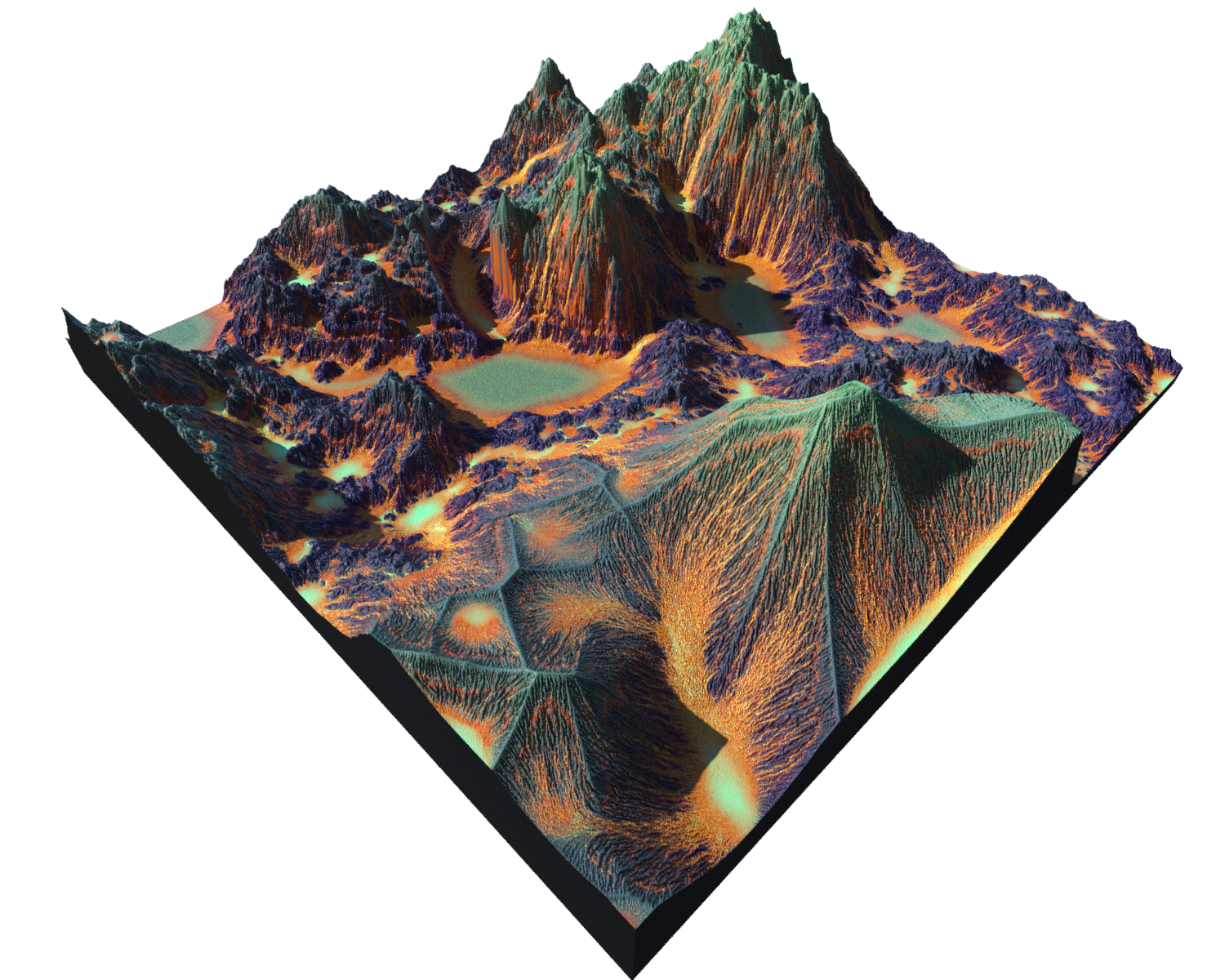
| Hydro only default | Erodability x4 | Riverbed x4 only | Riverbank x4 only |
|---|---|---|---|
 |
 |
 |
 |
Bank Angle - Threshold angle. (Low values will make erosion on flatter planes more erosion with longer slopes and expanded riverbed)
Spread Itterations - (high: longer slopes and expanded riverbed)
Hydro Advanced
Removal Rate - How much of debris to remove (-1 Accumulate a lot), (1 - Cuts but not debris)
Max Depth - Stop when debris reach level
Grid Bias - (-1 Sand on the Ground), (1- Leave sand on cliffs/slopes) Bias angles
Erodibility Adjustment
Ramp-up Iterarions - How many itters before full erosion (0 - Immediately)
Initial factor - Strength of erosion in initial movement
Slope Factor - (0 - Everything, will erode), (0.8) Less erosion (stip lot of, shallow little)
Riverbed (koryto)
Erosion Rate Factor -
Deposition Rate - Removal rate
Sediment Capacity - How much debris can be carry by sediments down (pojemność osadów)
Riverbank (brzeg)
Max Bank To Water Ratio -
Thermal
| no erosion | erosion 1 | erosion 4 | |
|---|---|---|---|
 |
 |
 |
Heat based. mostly about mountaintops
Cut Angle - Threshold angle. (Angle grater than value will be considered as erodible )(0 for more sand soft tops, 90 low erosion)
Thermal Advanced
Remove Rate - (-1 - Add more debris , +1 Remove debris )
Max Debris Depth -
Grid Bias - change values per angle
| . | -1 debris remain on ground | debris remain on slopes +1 | |
|---|---|---|---|
| Grid Bias |  |
 |
| Remove Rate |  |
 |
 |
| 0.7 / -1/ 0 |
Precipitation (opad)
Precipitation - How much water. High to erode quicker. (AMOUNT)
Density - how much low: more lines hi: wide and rear lines - High to erode quicker (AMOUNT)
Evaporation rate - how much water to sink
| Amount 0.3 | Amount 0.6 | Rate 0.5 | |
|---|---|---|---|
| Density 0.05 | 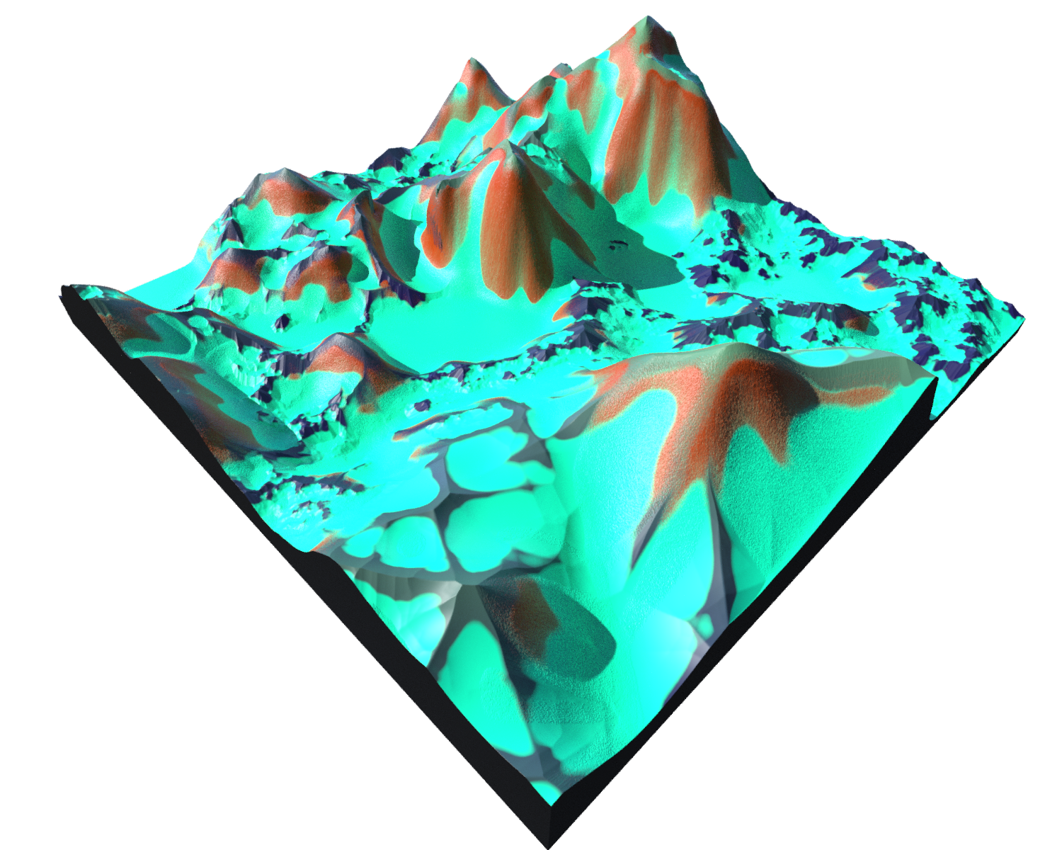 |
 |
 |
| Density 0.6 | 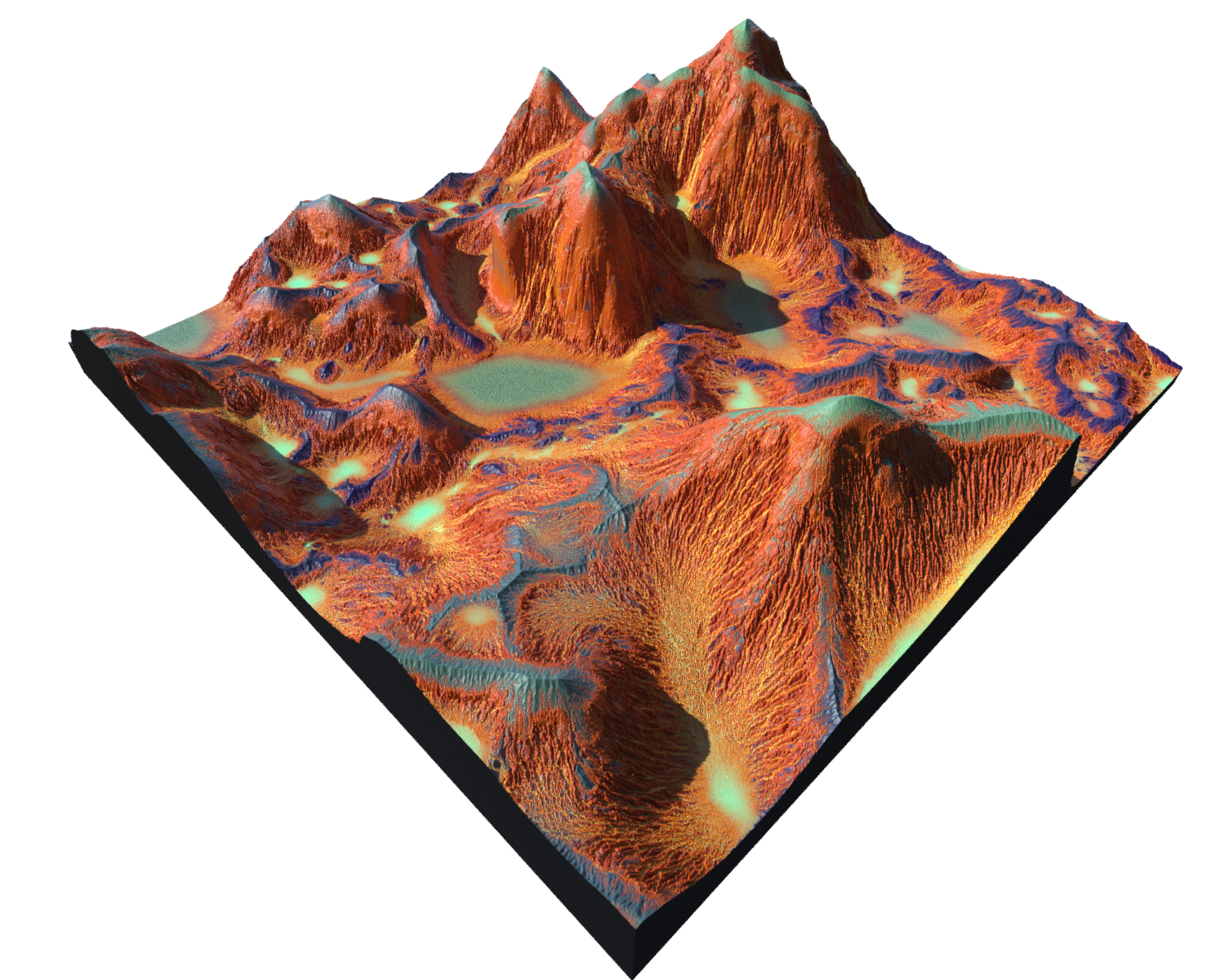 |
 |
 |
Water Flow
Debris Flow
Spread Itter - 4 low -fine lines , 15-20 - is middle , hi - large chunks of sand (AMOUNT)
Max Height - how height debris can build up - high value can create interesting cliff pattern (bolders?)
lobes - płaty
default thermal
Unreal
.r16
Landscape Size
| SectionSize | 7x7 LOD sections more aggressively at a higher CPU cost. | 256x256 fewer components and is less costly on the CPU. (for large landscapes) |
| Sections per component | 1x1 reduced CPU calculation time too many vertices at once | 2x2 possible that one component could be rendering four different LOD’s |
| num components | Tiles count | |
| Overal resolution | final size 1+(SectionSize * NumOfComp * Sectionspercomp) |
Height
512 jednostek w unrealu. 256 up + 256 down
-256 to 255.992 and stored with 16 bit precision. multiplied by the Z
scale value of 1 results in a maximum height of roughlty 256 centimeters (cm) and a maximum depth of -256cm. Therefore, at the default Z scale value of 100 your height values with be between 256 meters (m) and -256m.
  ||||||
  |--|--|--|--|--|
  |**Bank Angle** 30 85| Threshold angle. (Low values will make erosion on flatter planes more erosion with longer slopes and expanded riverbed)    | <img src="/src/hou/heightfields/hydro/003.png">  | <img src="/src/hou/heightfields/hydro/004.png">
  |**Spread Itterations** 20 - 60  |(high: longer slopes and expanded riverbed)     | <img src="/src/hou/heightfields/hydro/005.png">  | <img src="/src/hou/heightfields/hydro/006.png">
  Erosion rate main | | <img src="/src/hou/heightfields/hydro/001.png">  | <img src="/src/hou/heightfields/hydro/002.png">
  ||**Hydro Advanced**
  |**Removal Rate** | How much of debris to remove (-1 Accumulate a lot), (1 - Cuts but not debris)     |
  |**Max Depth** | Stop when debris reach level      |
  |**Grid Bias** | (-1 Sand on the Ground), (1- Leave sand on cliffs/slopes) Bias angles    |
  ||Erodibility Adjustment
  |**Ramp-up Iterarions** | How many itters before full erosion (0 - Immediately)      |
  |**Initial factor** | Strength of erosion in initial movement      |
  |**Slope Factor** | (0 - Everything, will erode),  (0.8) Less erosion (stip lot of, shallow little)   |
  ||Riverbed  (koryto)
  |**Erosion Rate Factor** 0.2 - 0.6  |
  |**Deposition Rate** | Removal rate     |
  |**Sediment Capacity** |  How much debris can be carry by sediments down (pojemność osadów)  |
  |**Riverbank:** (brzeg)|
  0
  1 2 3 - resolutions
  4 - hydro 1
  5 - ------tes off riversite and rivebet x0
  6 - hydro/erodability 4                vvvvvvvvvv
  7 - hydro advanced/ riverbed 4        vvvvvvvvvvvvv
  8 ------------------------------------- same rest others
  9 - hydro advanced / riverbank 4        vvvvvvvvvvv
  10 -------------------------------- same rest others


  - termal 1
  - ----------------------      global 4
  -  termal / erodability  4
  - grid bias - 14
  - grid + 15

  16
  17
  18

  on multi 4 opad:

  19 - am 0.3, dens 0.05 . rate 0.04
20 - am 0.6, dens 0.05 . rate 0.04
  21 - am 0.3, dens 0.6 . rate 0.04
  22- am 0.6, dens 0.6 . rate 0.04
  23- am 0.6, dens 0.05 . rate 0.5
  24- am 0.3, dens 0.6 . rate 0.5